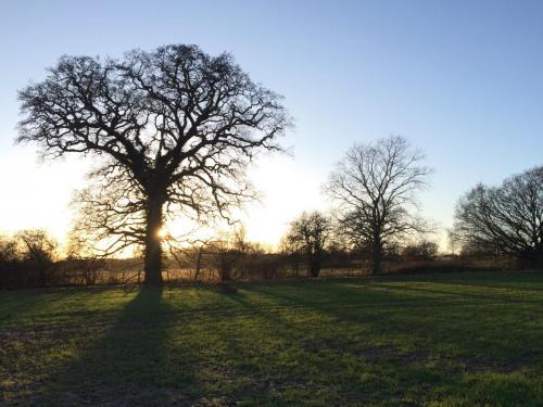
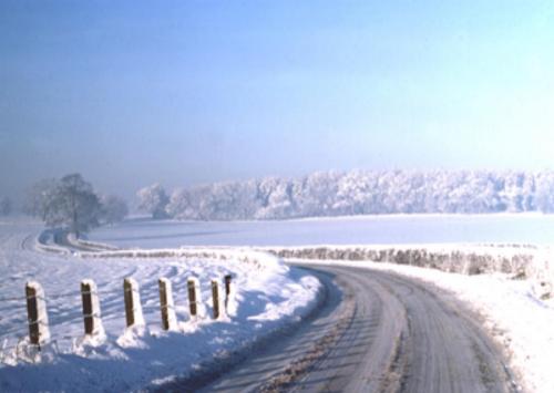
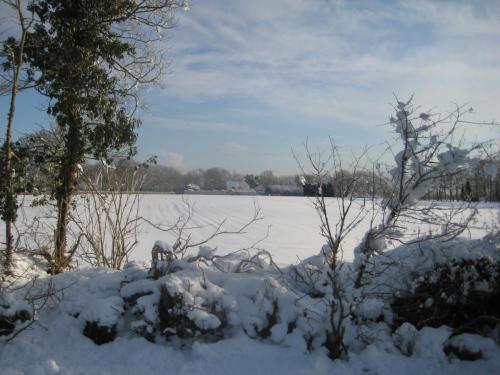
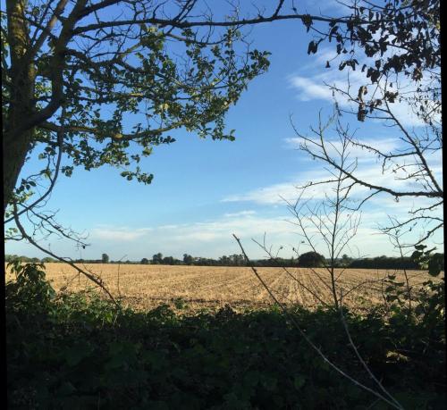
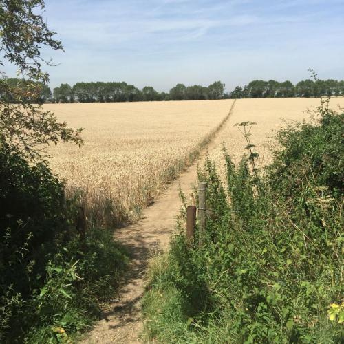
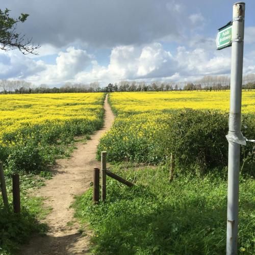
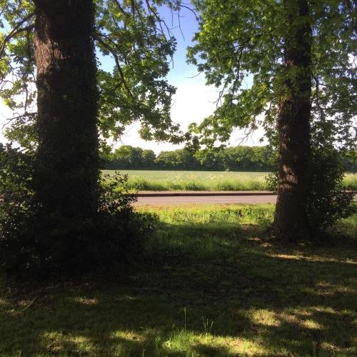
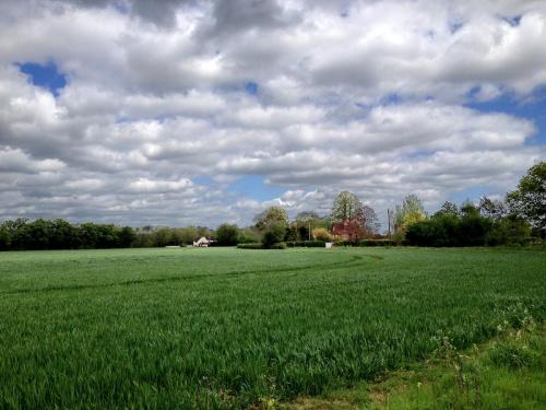
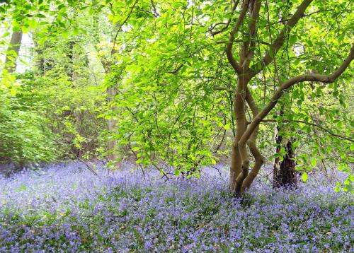
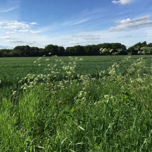
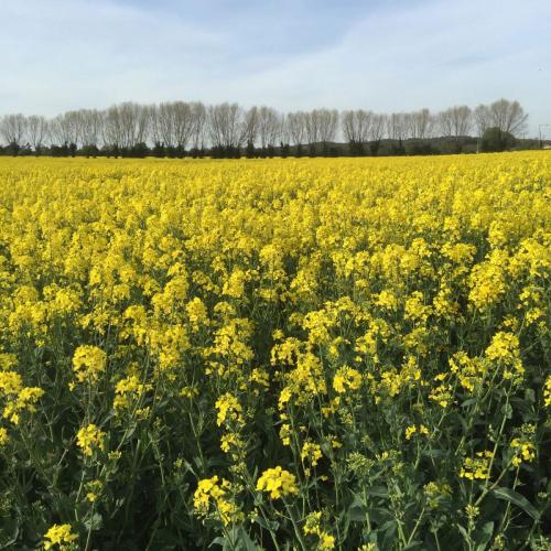
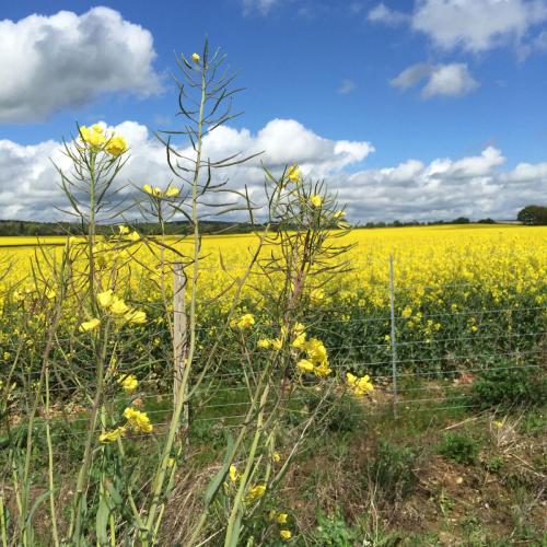
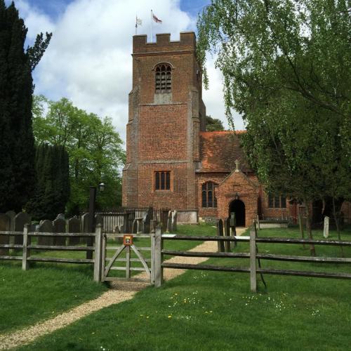
Please send us your photos, along with a caption to let us know where they are! If you can identify which of the Green Belt parcels of land they are in (see map below, from the report) that’d be great – it helps us to build up a picture to support the report. Send your photos to greenbelt@cprwok.co.uk
To read more about these individual pieces of land and the report’s conclusion on their contribution to Green Belt purposes see pages 27-30 of the 2016 Bracknell & Wokingham Green Belt Review PDF